
Main Menu
Armstrong County Data
Armstrong County Communities & Places
Genealogy & History Links by USGHN
Important Armstrong County Addresses
Sponsors
Armstrong County Neighbors
Briscoe County, Texas
Carson County, Texas
Donley County, Texas
Gray County, Texas
Potter County, Texas
Randall County, Texas
Swisher County, Texas
Other Websites
Armstrong County, Texas Communities & Places
| |||
Please submit your Armstrong County, Texas communities and places for researchers to share. Send your information to the Armstrong County, Texas Genealogy & History Network at: txghn@outlook.com
|
NAME |
LOCATION |
| Armstrong County Museum | 34.979497, -101.33961 |
| Blankenship Ranch | 35.062828, -101.18627 |
| Bugbee Ranch | 35.114772, -101.195715 |
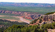
| Bull Canyon | 34.910605, -101.594891 |
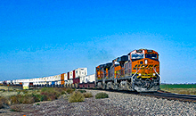
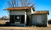
| Claude | 35.111718, -101.363222 |
| Claude Public Library | Unknown |
| Clear Vue Farm | 35.031164, -101.510729 |
| Cobb Canyon | 34.870333, -101.592955 |
| Dutch Canyon | 34.896305, -101.18724 |
| Fairview | 35.103664, -101.541841 |
| Fourway Farm | 35.073386, -101.612956 |
| Goodnight | 35.034495, -101.18627 |
| Happy Canyon | 34.845888, -101.434059 |
| Happy Draw | 34.816167, -101.531841 |
| Harrell Ranch | 34.947277, -101.590177 |
| Historical Monument | 34.847833, -101.546009 |
| Horseshoe Canyon | 34.927554, -101.502395 |
| Indian Trail Point | 34.861167, -101.609345 |
| J A Ranch | 34.817832, -101.185435 |
| Jacks Camp | 34.956163, -101.257106 |
| Koogle Jump-Off | 34.875609, -101.198492 |
| Leigh Arroyo | 34.856167, -101.558787 |
| Mackenzie Battleground | 34.880889, -101.608512 |
| Malden | 35.089773, -101.30822 |
| McGehee Hollow | 34.859777, -101.509618 |
| McMurtry Ranch | 35.075606, -101.204048 |
| Mitchell Peak | 34.805055, -101.204047 |
| Mount Pleasant (historical) | Unknown |
| Old Home Draw | 34.853944, -101.542397 |
| Paloduro | 34.816999, -101.188213 |
| Payne Flat | 34.85922, -101.094042 |
| Plains Corral | 34.90172, -101.243772 |
| Pony Flats | 34.912555, -101.556287 |
| Road Point | 34.816445, -101.464894 |
| Swift Ranch | 35.048106, -101.124877 |
| Thornberry Ranch | 35.121439, -101.147934 |
| Tub Springs Draw | 34.932833, -101.622679 |
| Valleyview Farm | 35.118663, -101.532397 |
| Wagon Wheel Gap | 34.791166, -101.194602 |
| Washburn | 35.176719, -101.573232 |
| Water Canyon | 34.764222, -101.131265 |
| Wayside | 34.792834, -101.54712 |
| Willow Arroyo | 34.942106, -101.115816 |
| Willow Valley Farm | 35.108663, -101.512951 |
| Wilson Point | 34.859222, -101.587677 |